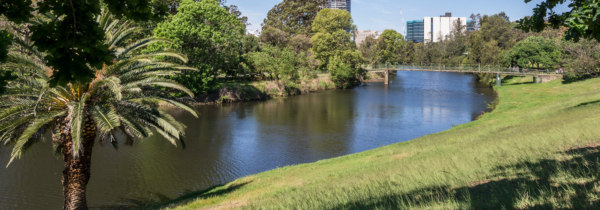
Parramatta River
47% of the Strathfield Local Government Area is located in the Parramatta River Catchment. The Parramatta River Catchment is one of the most highly urbanised catchments in Australia and has been subject to a long history of industrial, commercial and residential land uses.
Urbanisation has impacted on the health of the catchment and many natural resource management issues now exist that continue beyond any single local government boundary. Council works with other councils and state agencies in a collaborative approach through the Parramatta River Catchment Group (PRCG) to effectively managing these important natural resources and addressing the key impacts.
Our Living River
Strathfield Council believes that Sydney deserves a world class river and is a keen supporter of the Our Living River campaign to make Parramatta River swimmable by 2025 and improve the river foreshores. Up until the 1950s most of the Parramatta River was swimmable and was the focal point for many social activities. However, over time, the upper and midreaches of the river become too polluted for swimming and other activities to continue, leaving few locations where people can still swim. But the whole river can be swimmable again and scientific modelling shows us it is possible, and there are many international examples of where it has been done.
For more information, visit and vote for your favourite swimming site at ourlivingriver.com.au
Parramatta River Coastal Zone Management Plan
Strathfield Council is a member of the Parramatta River Estuary Committee. An estuary and its immediate catchment form a complex system of ecological, physical, chemical and social processes, which interact in a highly involved and, at times, unexpected fashion.
Council has adopted the Parramatta River Estuary Coastal Zone Management Plan (CZMP), which aims to provide an integrated approach to managing the estuary and catchment amongst the many landholders involved. The CZMP was developed using a set of distinct steps and is a scientific approach to understanding the complex estuarine system and the actions needed to effectively manage human impacts upon this system.
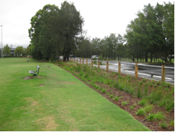
Mason Park Bioretention Swale
Water Sensitive Urban Design (WSUD) principles have been incorporated into the upgrade design of the Mason Park carpark, Underwood Road Homebush. Essentially, the designs aimed to treat runoff from the car park prior to discharging it in a cleaner state into Saleyards Creek, Homebush.
The resurfaced car park has been graded to direct water from the parking area, through existing mature vegetation and into a graded swale planted out with native grasses to uptake pollutants. Water then enters an overflow pit which then discharges water into Saleyards Creek. The swale has also been designed to capture and treat runoff from the surrounding sporting fields prior to release in to the nearby creek.